Coastal · Philippines · Feasibility
1,200 hectares assessed. 39 found viable.
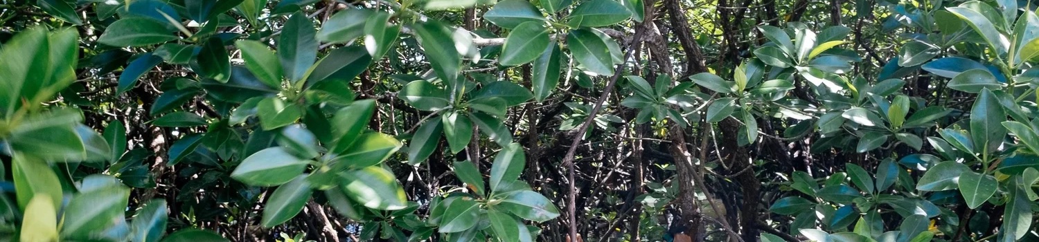
A large-scale mangrove restoration initiative was being considered across
roughly 1,200 hectares of abandoned fishponds. Before any planting began, someone had to
establish which areas were genuinely restorable.
The question
Which parts of the site could support mangrove, and which would waste money or cause
ecological harm if planted? Abandoned fishponds look uniform from above and are not.
What we did
Historical land-cover change analysis from satellite imagery; on-site hydrological
assessment for tidal connectivity; mangrove species identification and habitat
matching; soil and salinity screening; delineation of restorable versus
non-restorable zones. Local stakeholders were engaged to align with land-use history
and current practice.
The finding
39 hectares were ecologically viable. We advised against planting
the remainder. The delineation now informs restoration planning and project design
— and the project that proceeds is one that can be defended. The screen itself,
and the order the tests run in, is set out in
The 39-Hectare
Answer.
Upland & coastal · Philippines · Survey & MRV
Building the spatial evidence base.
Multiple upland and coastal sites needed accurate, high-resolution spatial
data to guide restoration planning — and to determine which zones should be protected
or left undisturbed rather than planted.
What we did
A multi-site drone survey using high-resolution multispectral imaging, processed
into vegetation health indices, land cover and land use classification, hydrological
and topographic overlays, and coastal-to-upland zone delineation.
What it produced
Outputs identified restorable areas, supported nursery expansion planning, and fed
long-term restoration strategy. The dataset is site-specific and reusable.
Why it matters
It serves as the technical foundation for future MRV protocols, feasibility work and
carbon and biodiversity credit initiatives. Survey data gathered once, relied on for
years — which is why how it is captured matters.
Terrestrial · Philippines · Biodiversity
A biodiversity baseline before the claims.
To give a forest restoration project ecological credibility, a baseline was
needed: what species are present now, which are worth monitoring, and what can honestly be
claimed later.
What we did
Tree species identification surveys to establish baseline flora; camera traps and an
acoustic logger for opportunistic wildlife sampling; identification of charismatic and
indicator species; sampling points mapped against restoration zones. Fieldwork was
coordinated with local partners for cultural and ecological relevance.
The finding
Multiple notable tree species confirmed, and wildlife activity documented across the
site including recordings and images of key species.
What it supports
Reference data for ongoing biodiversity monitoring, emerging biodiversity crediting
methodologies, and demonstrable early ecological value for partners and funders.
Agroforestry · Uganda · Market pilot
Testing whether the market was really there.
A partner organisation wanted to generate sustainable income for farmers
while restoring degraded land through agroforestry. The open question was not whether
vanilla would grow — it was whether buyers would pay for it.
What we did
Sourced vanilla directly from partner farmers and tested market interest in
farm-to-table products built around sustainability and restoration — deliberately
structured as a low-risk pilot rather than a commitment.
The outcome
Enough demand to justify continuing. The pilot established that a restoration
landscape could reach a consumer market at all — which is the question a
livelihood case rests on, and the one usually answered by assertion.
The transferable part
A replicable approach for connecting community restoration to value chains that
reward ecological and social outcomes — tested cheaply before anyone scaled it.
The model went on to become a trading business,
Buji Vanilla.