
Natural capital · Philippines · Uganda · Emerging markets
Before a restoration project is bankable, someone has to go and look.
We do the earliest and least glamorous work in nature-based projects — the drone survey, the GIS, the feasibility study, the biodiversity baseline, the tenure and consent groundwork. The work that decides whether a project is real, done before anyone has committed capital to it.
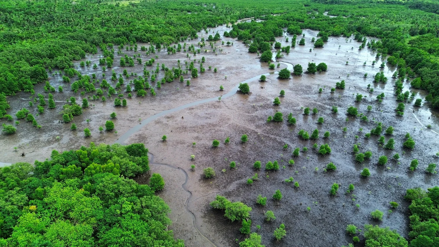
Most of our findings are inconvenient.
A client was preparing to restore roughly 1,200 hectares of abandoned fishponds. After hydrological assessment, species and habitat matching, soil and salinity screening and historical land-cover analysis, we found that 39 hectares were ecologically viable. We advised against planting the rest.
That is the value. Anyone can confirm a project looks promising. Knowing where it doesn't work — before the money is committed — is what makes the rest of the assessment worth trusting. The screen is written up in The 39-Hectare Answer.
Where we come from
We are advisors who have had to raise the money ourselves.
Wovoka Advisory grew out of a project developer — the same group that originates restoration projects on the ground, works through tenure and consent with the communities who hold the land, and has had to fund that work before any project existed to charge it to.
That is an unusual starting point for an advisory firm, and it shows up in the advice. We have been on the other side of the table: assembling the evidence a funder actually asks for, and living with the consequences when a site turns out not to work.
It goes past feasibility, too. We have taken an agroforestry crop from a restoration landscape through to a product on sale — Buji Vanilla — because a landscape that cannot pay for itself does not stay restored.
What that changes in practice
We know which evidence unlocks early capital and which merely looks thorough. We design feasibility work so its outputs survive into project documentation rather than stopping at a report. And we can tell you early when a project is unlikely to be financeable — which is cheaper to hear now than after a baselining budget has been spent.
What we do
Four capabilities, one sequence.
Nature-based projects fail at the start, not the end — on tenure that was never clear, baselines that were never measured, and consent that was never properly obtained. We work at that stage.
Nature tech, GIS & MRV
Multispectral and LiDAR drone survey, vegetation health indices, land-cover and land-use classification, hydrological and topographic overlays, coastal-to-upland delineation — and the monitoring frameworks that keep a claim auditable years later.
Nature tech & GIS →Carbon development & impact
Feasibility, safeguards and project design for carbon and biodiversity projects, co-developed with the communities who hold the land — including the consent and tenure work most developers skip.
Carbon & impact →Strategy & nature advisory
Insetting strategy, nature-aligned planning, and disclosure support against TNFD and SBTi — for sustainability teams who need a defensible position rather than a narrative.
Strategy & advisory →Product & market development
Carbon is not the only way a restored landscape pays. We have taken an agroforestry crop from a restoration site through to a finished product on sale — so we can test whether a market exists before anyone commits to scale.
Product & market →Why ground presence is a capability, not a cost
Satellites see the land. They don't see who works it.
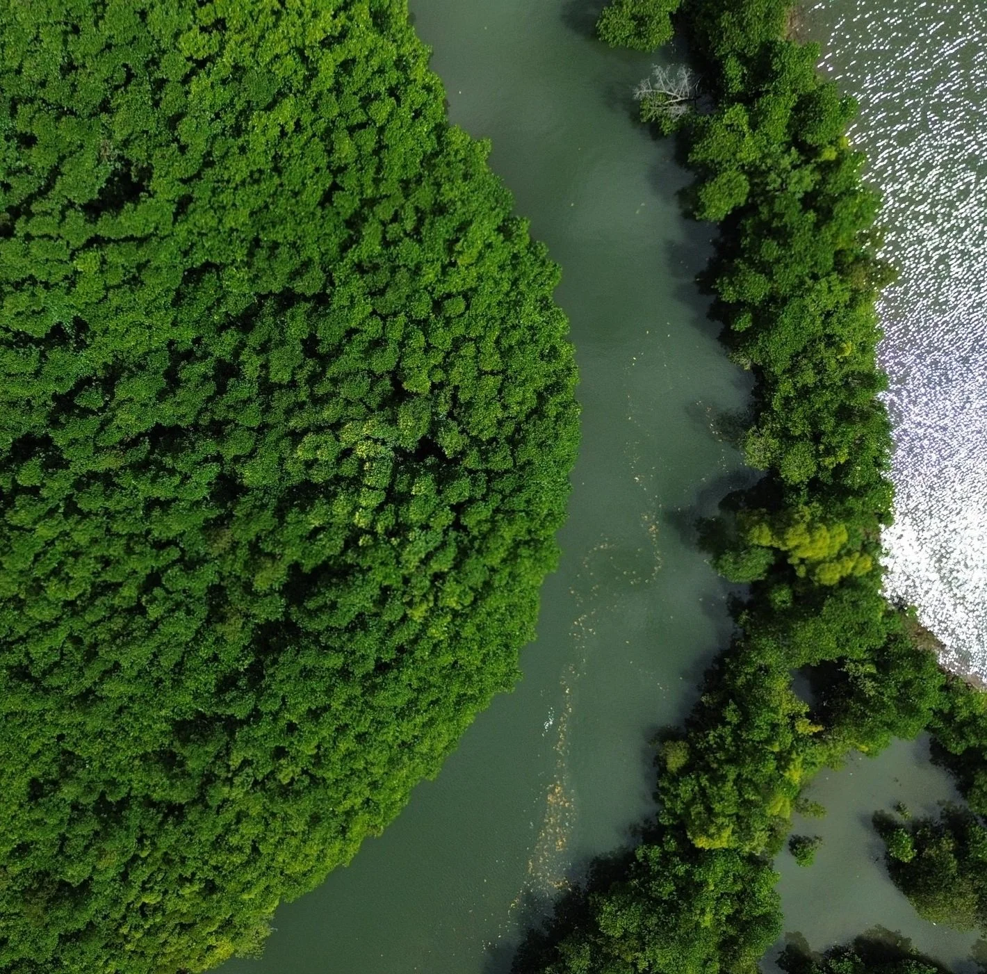
On any given day cloud covers much of Mindanao, so remote sensing alone returns a partial picture — and it never shows tenure, consent, or the people already on the ground. That gap is what investors price as risk.
We fly our own surveys, build our own layers, and check them against what is actually happening at the site. Vegetation indices tell you where the canopy is; only fieldwork tells you whether a hydrological connection still exists, which species will survive there, and who has a claim to the land.
Selected work
From feasibility to decision.
Client work is published anonymised, with the method and the finding intact and the client's identity withheld unless they ask otherwise.
Mangrove restoration feasibility
An ordered screen for abandoned fishponds — tidal connectivity, inundation, breach feasibility, propagule source, soil, freshwater input, competing tenure — run so the cheap test disqualifies a site before the expensive one is paid for.
Multi-site drone & MRV survey
High-resolution multispectral imaging across upland and coastal sites, producing the spatial dataset now underpinning restoration planning and future MRV protocols.
Biodiversity baselining
Field surveys, camera traps and acoustic loggers establishing baseline flora and wildlife presence for monitoring and emerging biodiversity crediting methodologies.
Considering a nature-based project?
The most useful conversation is usually the earliest one — before a hectare target is set, and while the answer can still change.